Participatory Action Research (PAR) tools
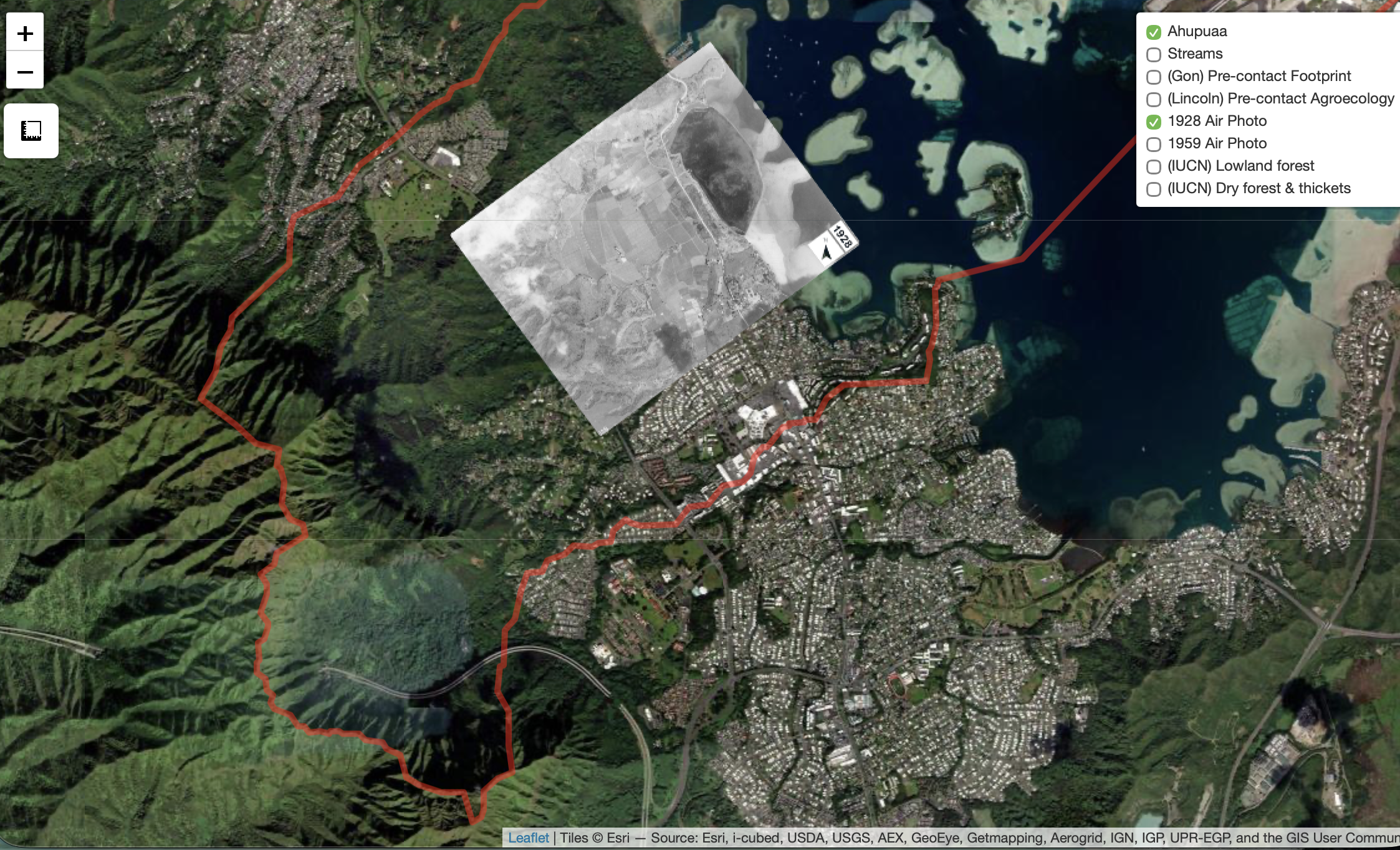
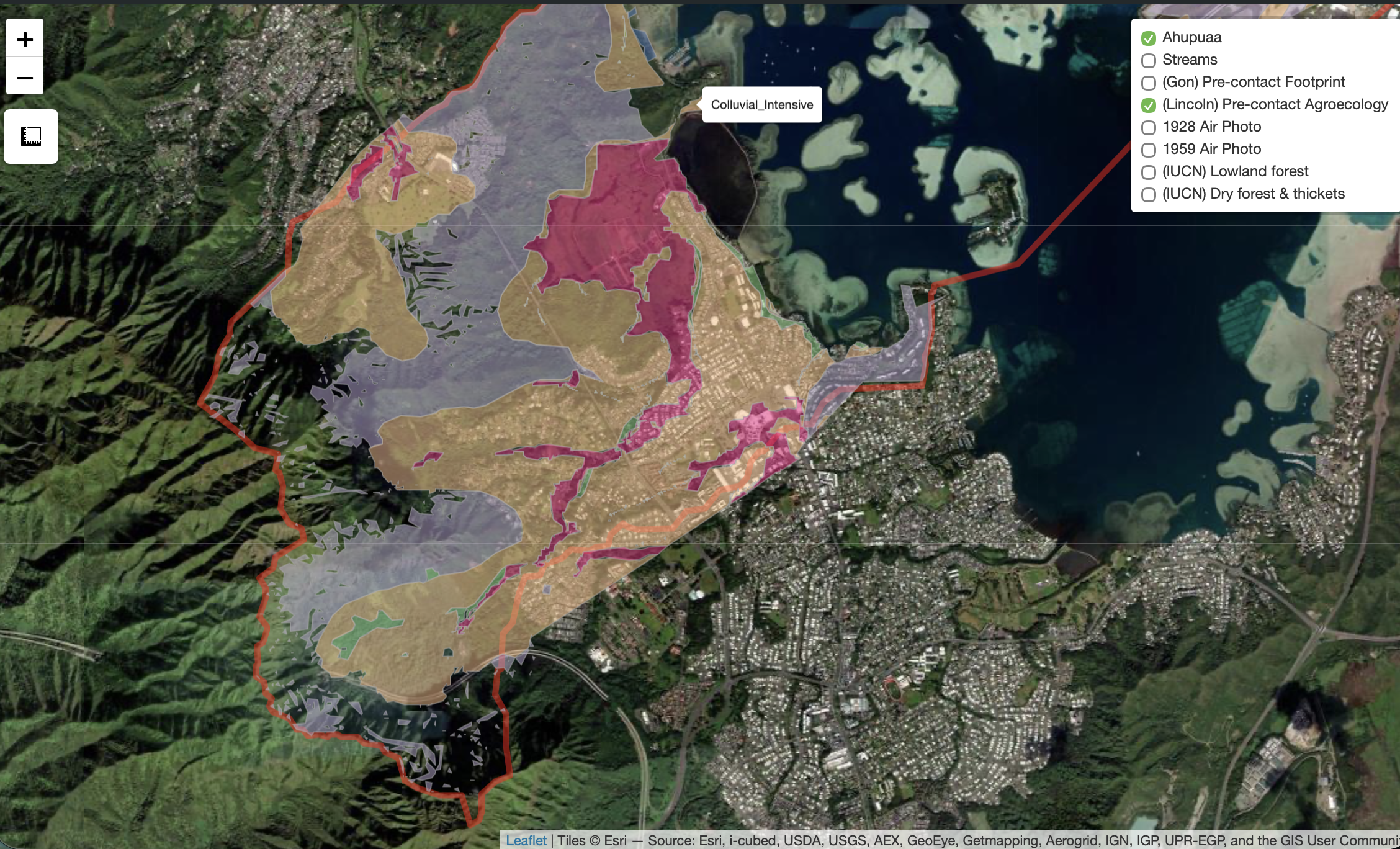
Use of interactive maps allows community to explore historic land-use in Heʻeia ahupuaʻa. Below a georectified 1928 airphoto shows extent of flooded pondfields operating at the time. Other layers show modeled pre-contact (1778) land-use in the ahupuaʻa: